59° and Clear



Mobility Plan 2035 Vehicle Enhanced Network (VEN) | City of Los Angeles Geohub
The Vehicle Enhanced Network consists of streets prioritized to provide vehicle access to the regional freeway system.
Reflecting its commitment to equity and environmental justice, Los Angeles City Planning has established street standards that provide safe and efficient transportation options for pedestrians, bicyclists, transit riders, and motorists. City Planning’s prioritized set of land use and transportation considerations strive toward equity in safety, public health, and access. For additional information, contact Planning.Mobility@lacity.org. Mobility | Los Angeles City Planning
Initiative ordinance Measure HLA – the Los Angeles Safe Streets for All Initiative (Measure HLA)
- Was adopted by voters on March 5, 2024, and took effect on April 9, 2024.
- Added Section 85.11 to the Los Angeles Municipal Code
- Requires the City to implement its Mobility Plan 2035 whenever the City carries out certain improvement projects in City-owned rights-of-way on streets identified in the Mobility Plan’s
Network Concept Maps. - Requirements apply to an “Improvement” (as defined in LAMC Section 85.11(a)) constructed by the City on a “Mobility Plan Street” (as defined in LAMC Section 85.11(a)), which shall
be referred to as a “Mobility Plan Project.”
Mobility Element of the General Plan
The Mobility Plan 2035—one of the Elements of the City’s General Plan—lays out the policy foundation for achieving a transportation system that balances the needs of all road users. The priorities of the Mobility Plan 2035 include:
- Safety First: Focusing on safety, education, and enforcement
- Access for all Angelenos: Increasing access through greater community connections
- World Class Infrastructure: Investing in the construction of Complete Streets Networks
- Collaboration, Communications, and Informed Choices: Using open data and information to inform future policy considerations
- Clean Environment & Healthy Communities: Tackling issues related to the overall health and sustainability of Los Angeles’ neighborhoods
The Mobility Plan 2035 includes several network maps that serve as a preliminary roadmap to guide the City in making future multi-modal improvements that improve the overall safety of the City's streets while increasing Angelenos’ access to multiple modal choices. The most updated Network Maps are hosted on the City’s Geohub and can be found at the following links:
- Bicycle Enhanced Network (BEN)
- Bicycle Lane Network (BLN)
- Neighborhood Enhanced Network (NEN)
- Pedestrian Enhanced Districts (PED)
- Transit Enhanced Network (TEN)
- Vehicle Enhanced Network (VEN)
- Goods Movement (GM)
Mobility | Los Angeles City Planning
More News from Calabasas
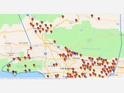
- Sandbags Free at L.A. County Fire Stations & Malibu & Altadena Sandbags can help protect your property from flooding and debris. Use the L.A. County Public Works locator tool to find sandbag locations near you at pw.lacounty.gov/dsg/sandbags.
- L.A. County Transportation Improvements: Survey & Virtual Meeting Countywide improvements such as expanded transit service, safer bikenetworks, & complete streets are being considered as an alternative to building more roads & parking