Image
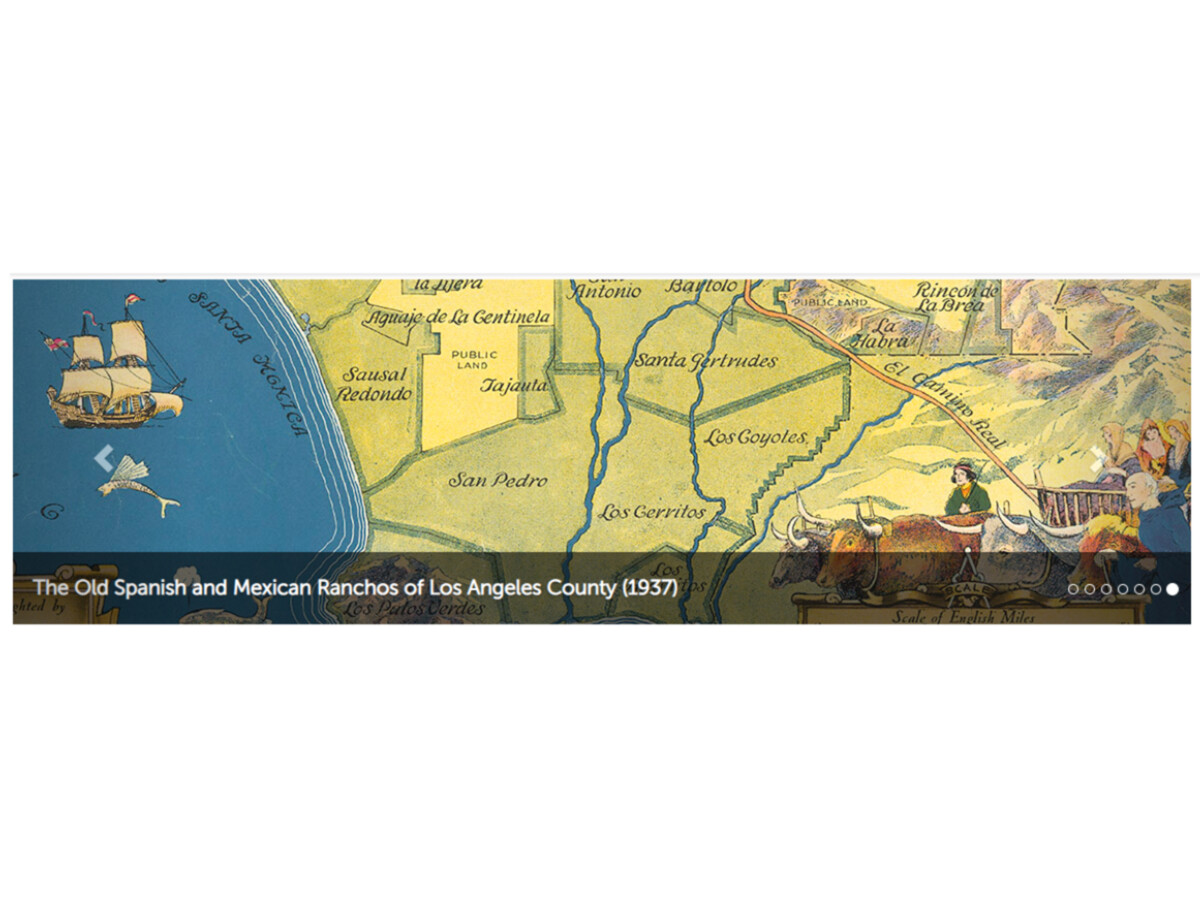
The CSUN Library massive Map Collection relating to the San Fernando Valley also includes the Plat Book, USGS Geologic & Soil Maps, Vintage Touring Maps & topographic maps (1925-1948).
Even the Instagram page of the Map Collection holds a fascinating collection. CSUN Library Map Collection (@csunmaplibrary) • Instagram photos and videos
USGS LA County 6-minute topographic maps (1925-1948). The "6-minute" topo series of Los Angeles County was produced by the USGS from the 1920s to the 1940s, with some reprint editions published into the early 1950s. They provide interesting cultural and physical details of Los Angeles County, including the San Fernando Valley.
A comprehensive service point whose staff provides subject expertise in cartographic resources, general and complex reference services, and GIS research & technical support.
The Map Library Reading Room (Rm. 26) is an open study space available to all patrons and includes a scholarly collection of books and atlases available for browsing.
If you have research questions or inquiries related to cartographic resources, GIS, ArcMap, or using maps as primary resources, please call 818-677-3465 or send an email to librarymaps@csun.edu.
Core LA & SFV Collections | CSUN University Library
Conducting Research in the Map Collection | CSUN University Library
Scanning & Duplications | CSUN University Library
Other Cartographic Resources Online | CSUN University Library
Related article: Detailed Historical Sanborn Atlas Collection at CSUN | San Fernando Valley News Portal (town.news)


Sunny, with a high of 94 and low of 61 degrees. Sunny for the morning, clear overnight.