Image
The Department of Geography and Environmental Studies at CSUN is proud to host one of the largest physical collections of Sanborn Fire Insurance Atlases found anywhere.

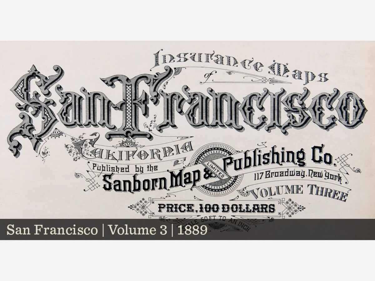
Sanborn Fire Insurance Atlas Collection
Produced by the Sanborn Map Company from the late 1860s to mid 1970s, Sanborn Fire Insurance Atlases highly detailed historical maps allowed insurance companies to assess fire risk for individual structures in urban and commercial areas throughout North America. Today they are a unique and priceless tool for researchers focused on historical geography, architecture, environmental history, the growth of cities and the social composition of urban areas.
Represented in the maps:
The CSUN Sanborn Atlas collection includes more than 4,100 individual atlases in a variety of formats covering over 1,600 cities and towns. Representing detailed sources of historic land use and built environment reference for urban areas in North America.
Sanborn Fire Insurance Atlas Collection | California State University, Northridge (csun.edu)
Geography & Environmental Studies Department
18111 Nordhoff Street Northridge, CA 91330 Mail Drop: 8249
Email: sanborn@csun.edu
Phone: (818) 677-5429
Sierra Hall, Room 189
Related article: University Library Map Collection at CSUN | San Fernando Valley News Portal (town.news)


Cloudy, with a high of 77 and low of 60 degrees. Mist for the morning, sunny in the afternoon, fog overnight.